
 01473 805575
Walk 1: Circular Walk
Walk reviewed: 14/5/19
Instructions last updated: 16/5/19
 Case Walk 1: OS Maps online
![]() Walk 1 route map (1 page)
Walk 1 route map (1 page)![]() Walk 1 instructions (text only; 1 page)
Walk 1 instructions (text only; 1 page)![]() Walk 1 photos (larger size; 3 pages)
Walk 1 photos (larger size; 3 pages)![]() This page (compact combined text & photos; 2 pages)
This page (compact combined text & photos; 2 pages)
This circular walk is approximately 4 miles around the outside edges of the village with links back to the centre like spokes of a wheel providing short cuts. Most of the route is off road with one short cross-field section, the walk has now become well established with wide paths and tracks and a variety of countryside to see. Unfortunately the Great Storm in 1987 cleared many of the trees and the efforts to replant will be seen on this walk.
Once you get started you will find the walk is well marked with yellow circular walk arrows and signposts to guide you in either direction around the circuit.
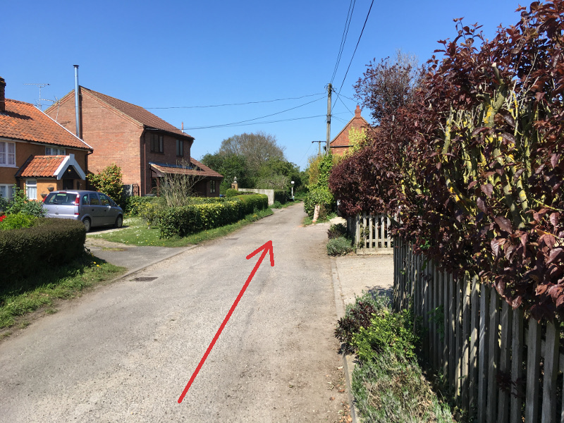
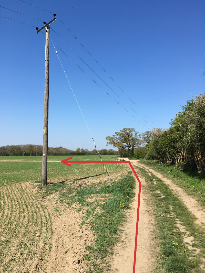
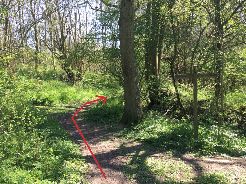
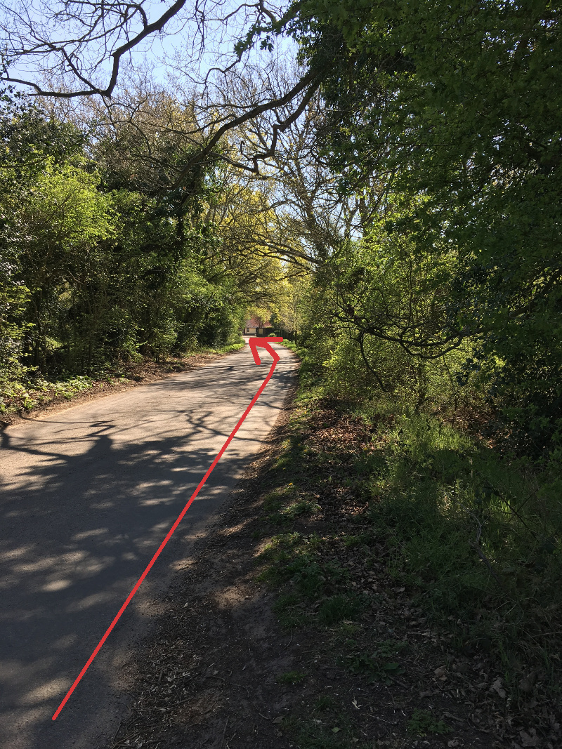
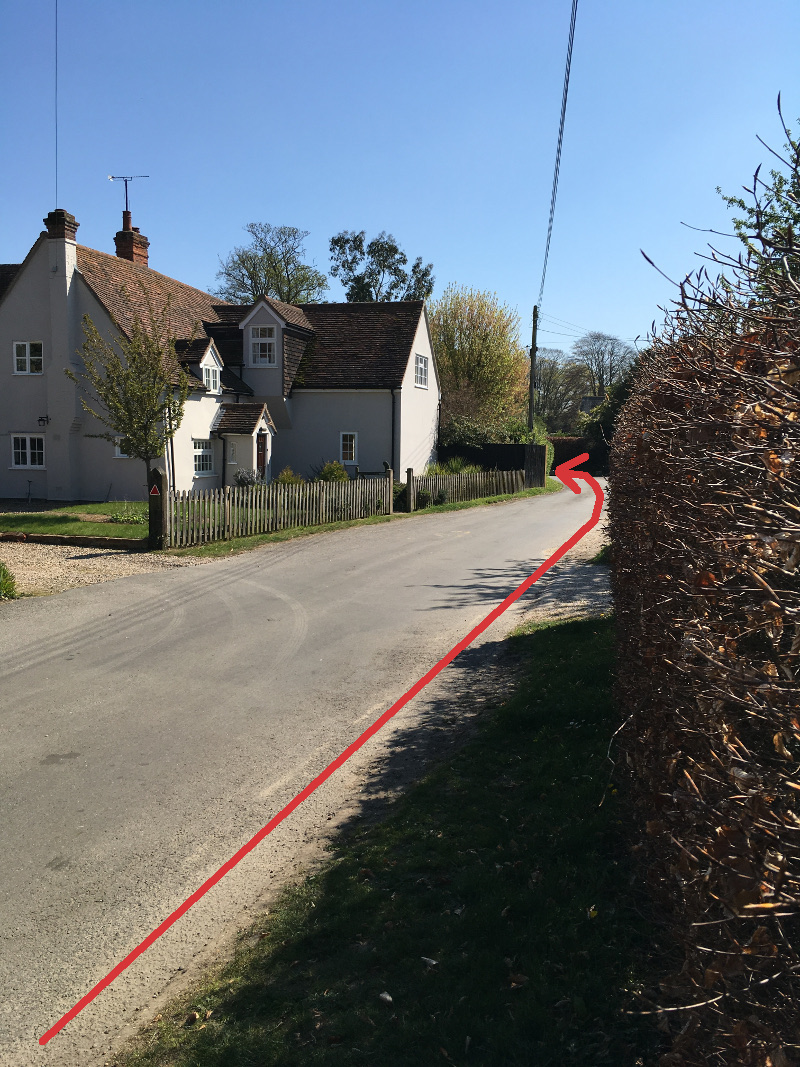
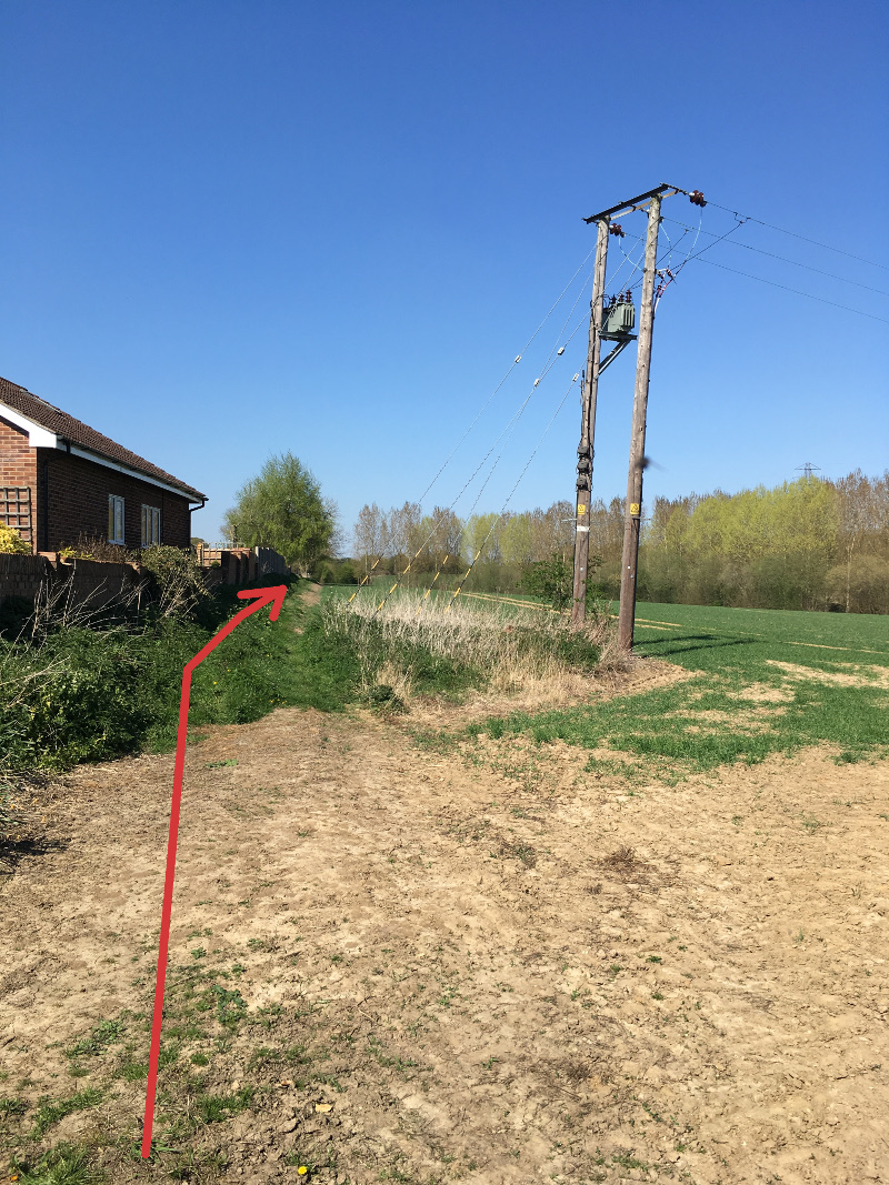
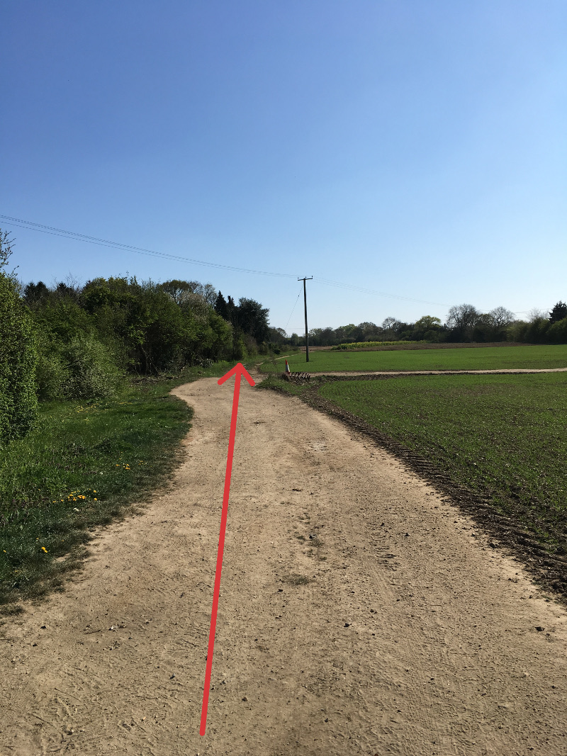
From the Case is Altered walk Northwards up Case Lane (WP1), past the entrance to the playing field and continue on to the footpath and then out into open country. The path soon becomes a track, and across the first field when you reach a signposted junction (WP2), turn left and follow the connecting track out to the Capel Road. NB. At time of writing this signpost is broken and is likely to be found propped up in the hedgerow. However the turning is currently marked by a large orange and white traffic cone.
Waypoint 1
Waypoint 2
Waypoint 3
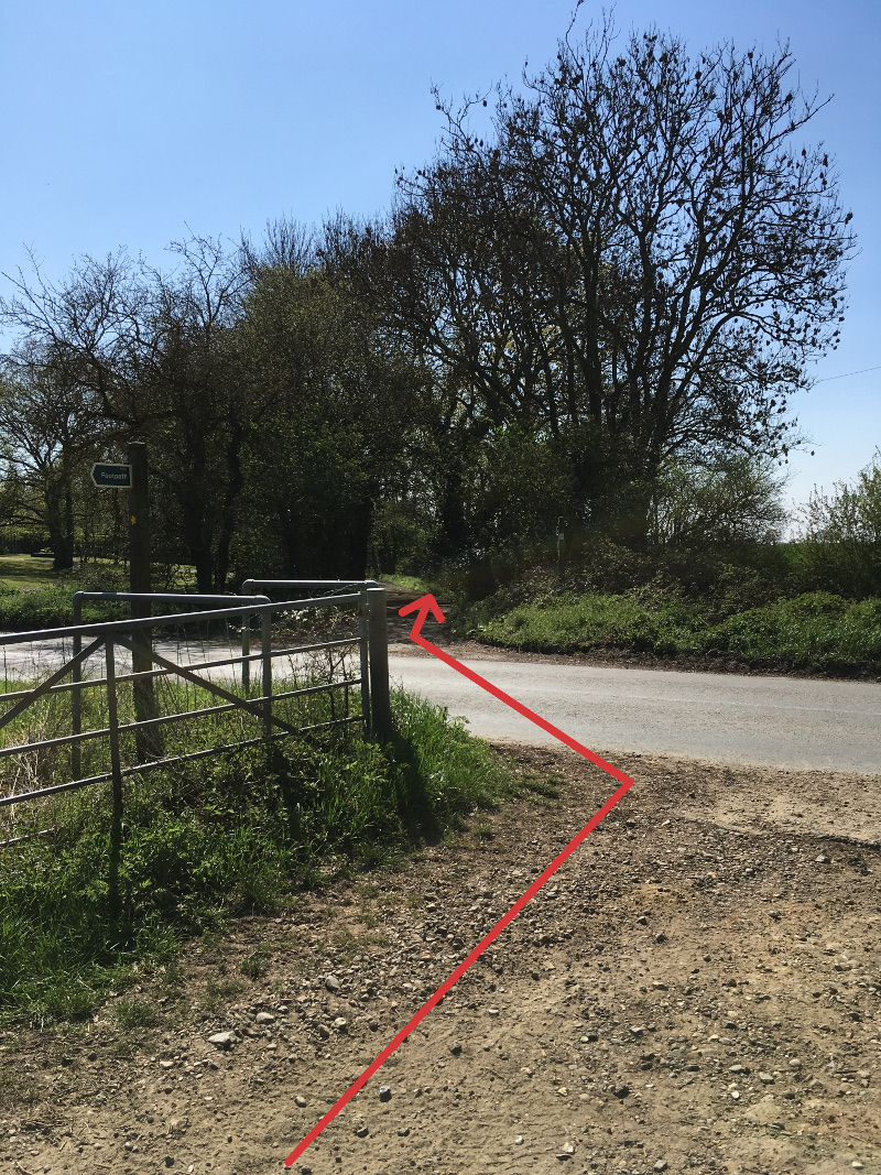
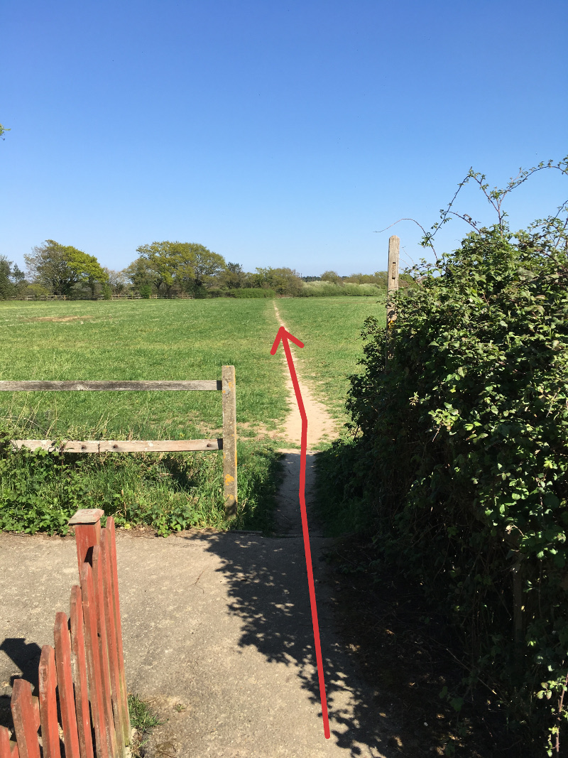
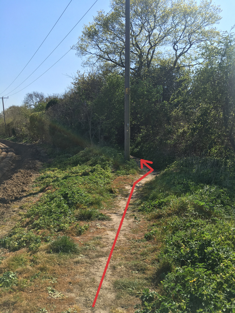
Cross the road with care (WP3) and enter the path at the side of a large wooden gate, along a surfaced drive and then at the side of a wire fence (WP4) to reach a sunken lane. This is called Cut Throat Lane and I leave it to your imagination to decide why it got the name. Follow the old lane through the trees in the valley, straight across the junction of criss-crossing footpaths (WP5) ignoring any side turnings, and up into Holly Wood.
Waypoint 4
Waypoint 5
Waypoint 6
Waypoint 7
Waypoint 8
Waypoint 9
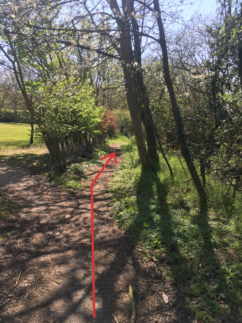
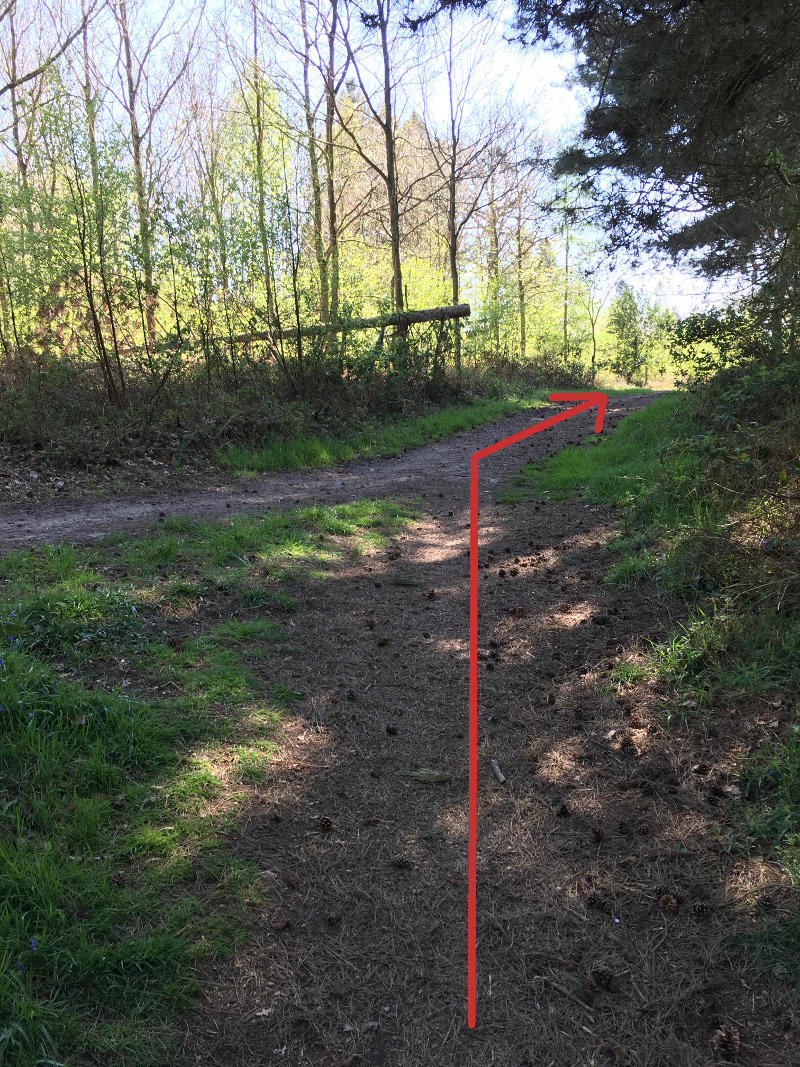
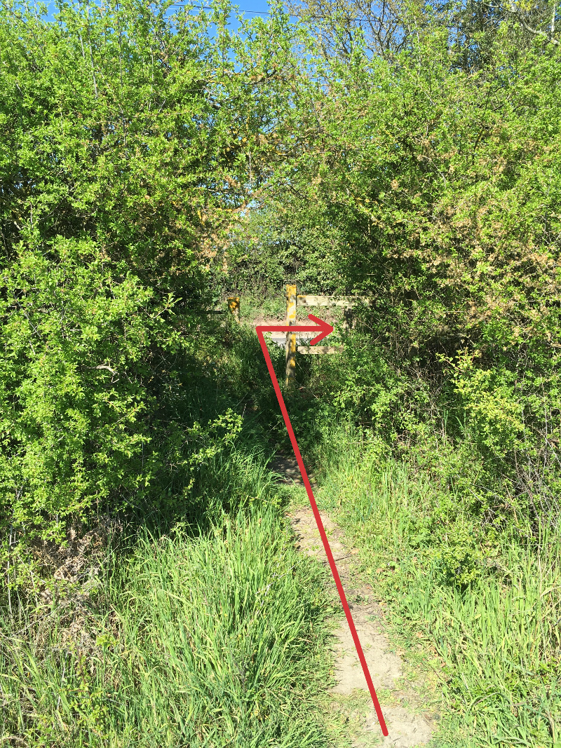
Continue through the woods on the wide track, bearing right when the riding track and the footpath merge (WP6) and bearing left after the wooden seat built around a tree (WP7). Turn left onto the footpath marked with a signpost (WP8), along the edge of the first field after the trees and out to the Bergholt Road. Turn right (WP9) to the three-way junction and then left along Hazel Shrub (WP10). On the right is Dodnash Wood, taking its name from the 12th century Augustine Priory that once existed in the adjoining valley.
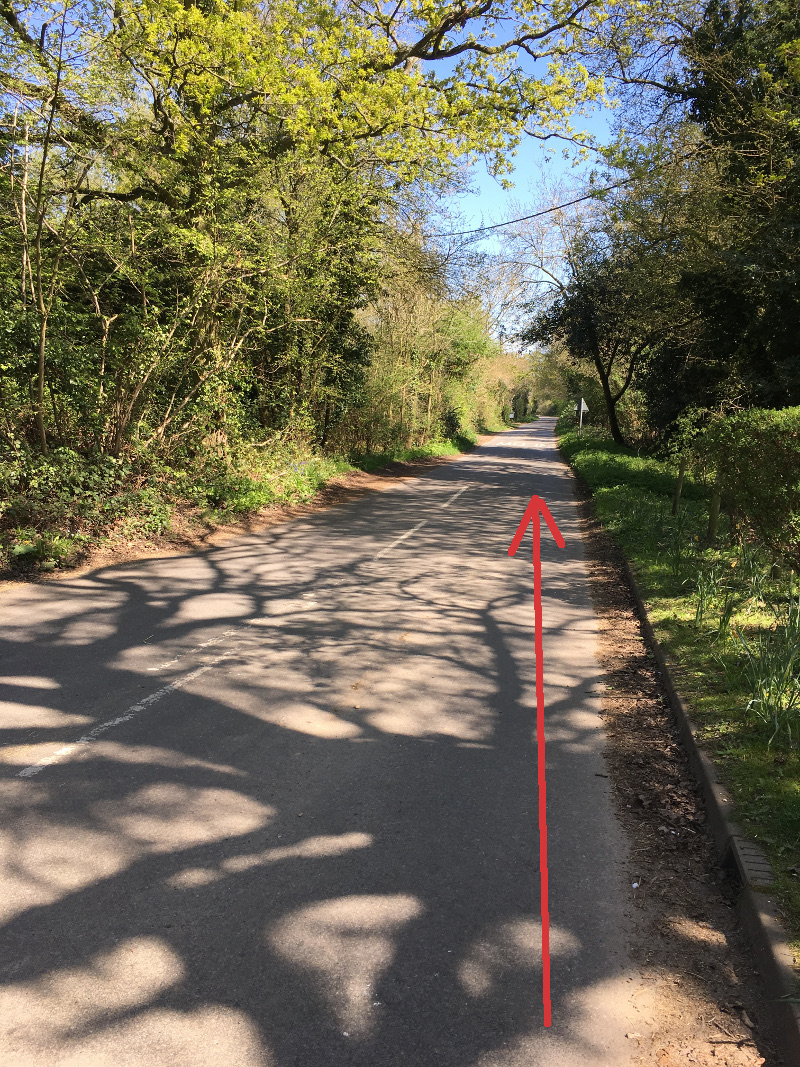
Waypoint 10
Waypoint 11
Waypoint 12
Waypoint 13

Waypoint 14
Waypoint 15
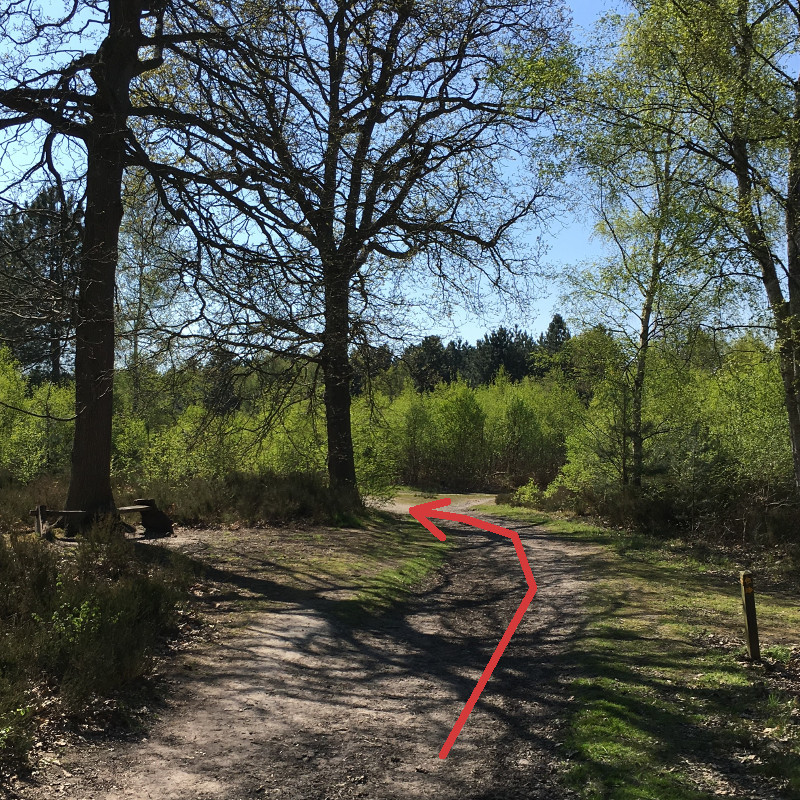
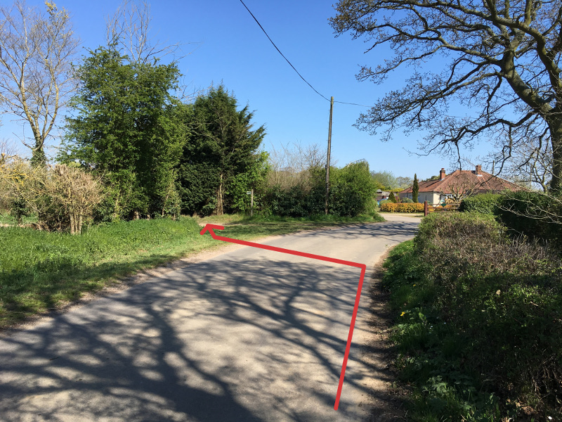
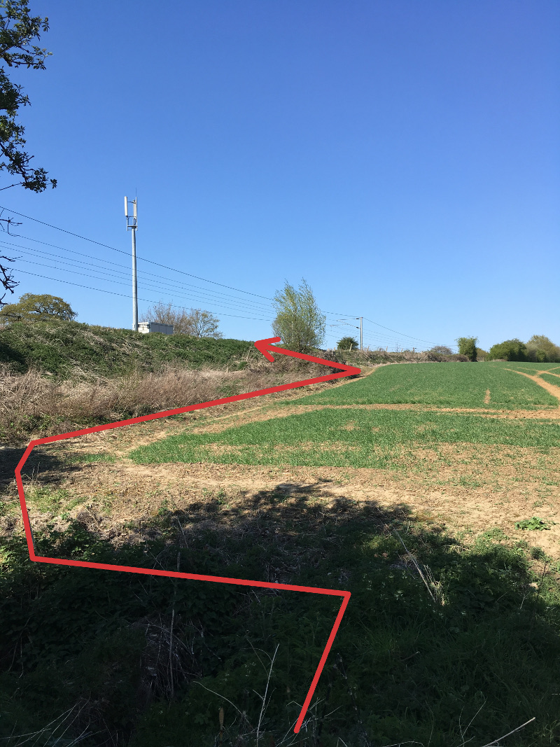
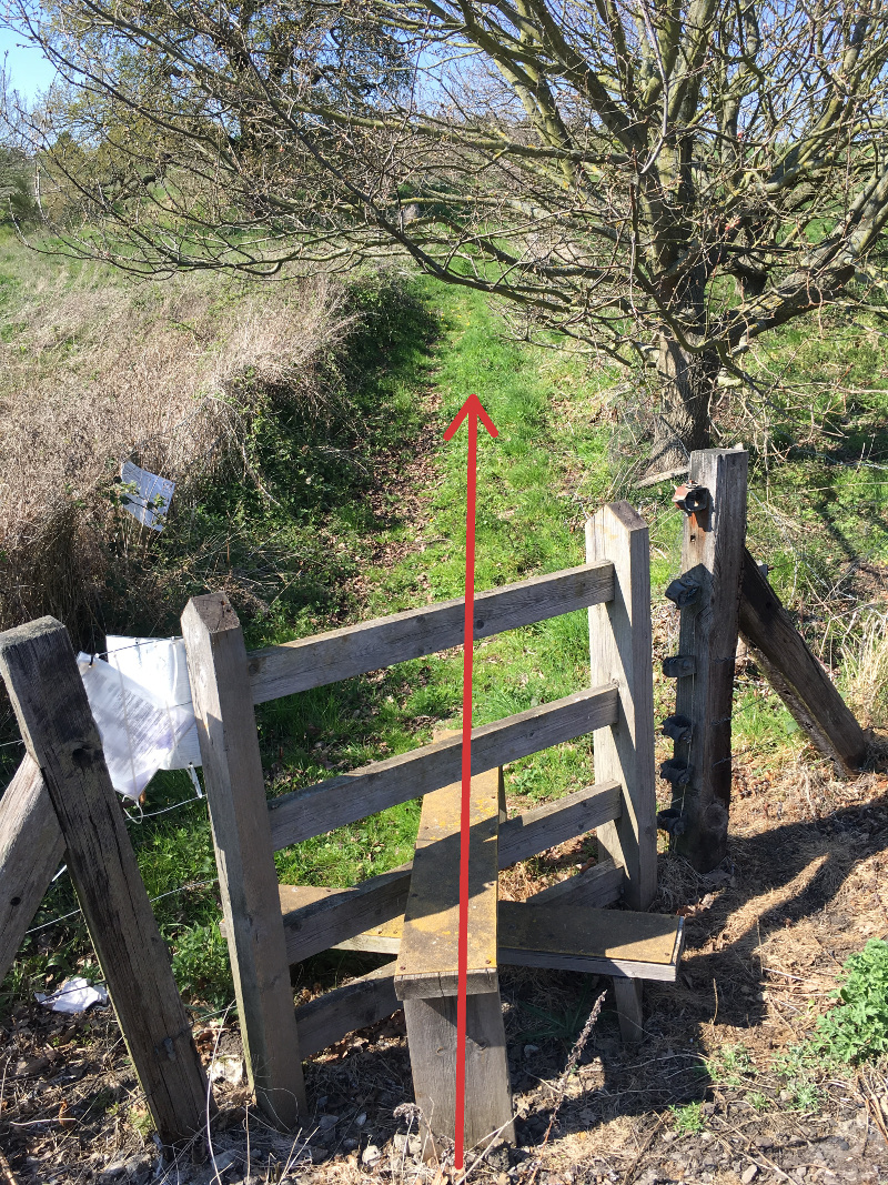
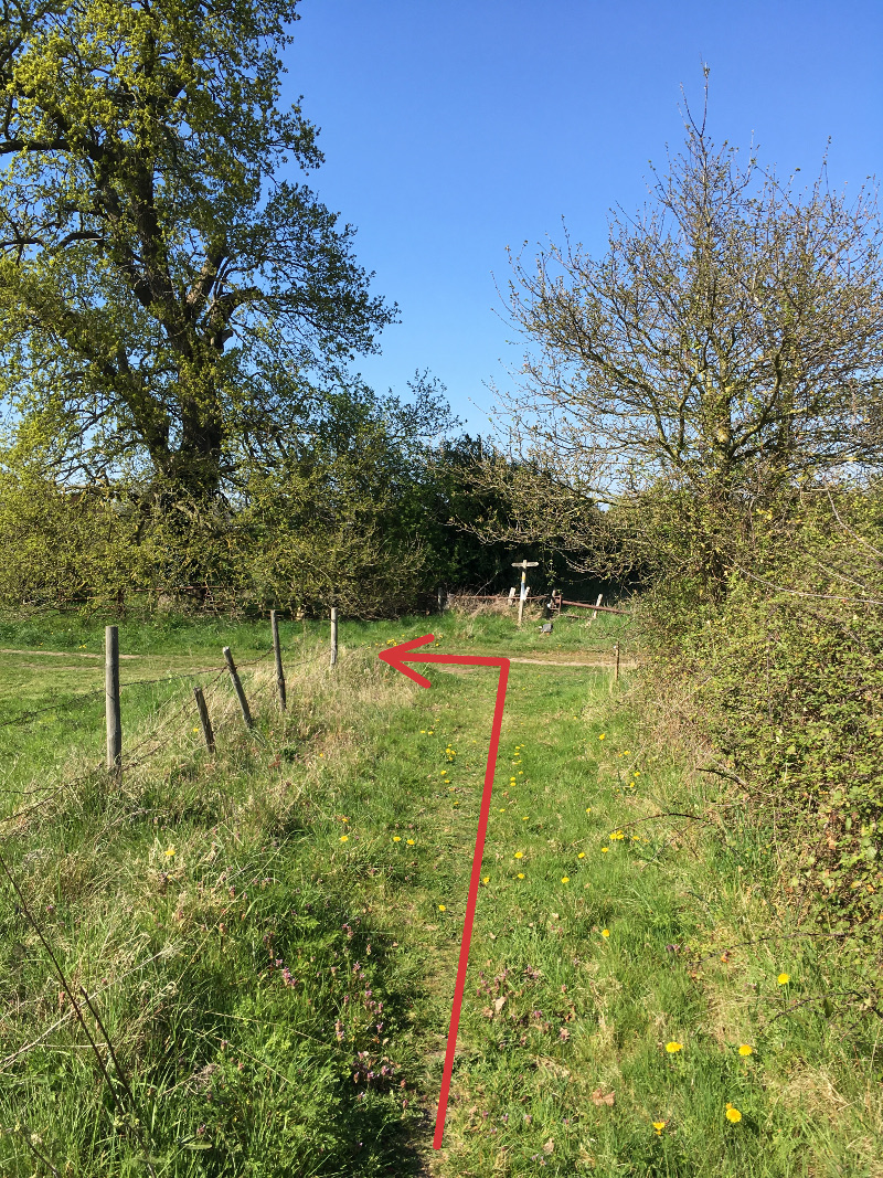
Just before The Arbour (WP11) turn left on the bridleway across the field and then turn right in front of an oak tree on the footpath (WP12) and keep to the right of the hedge. Follow this path over three stiles and through two pastures, to emerge onto Grove Road (WP13). If a short cut is required turn left to return to the centre of the village. Otherwise, turn right and follow the road around a left bend, then at the next (right) bend, leave the road and continue straight ahead on the footpath to the left of the open field (WP14), along the rear of Silver Leys, and onwards (WP15) across an open field to reach Station Road (WP16). Take care as you join Station Road as it’s a large step down from the footpath through the hedge onto the road, there’s no pavement and emerging pedestrians can catch drivers by surprise.
Waypoint 16
Waypoint 17
Waypoint 18
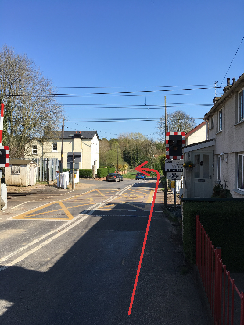
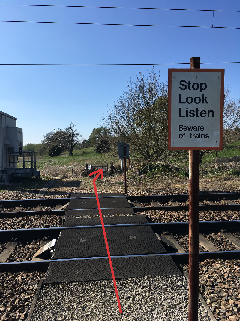
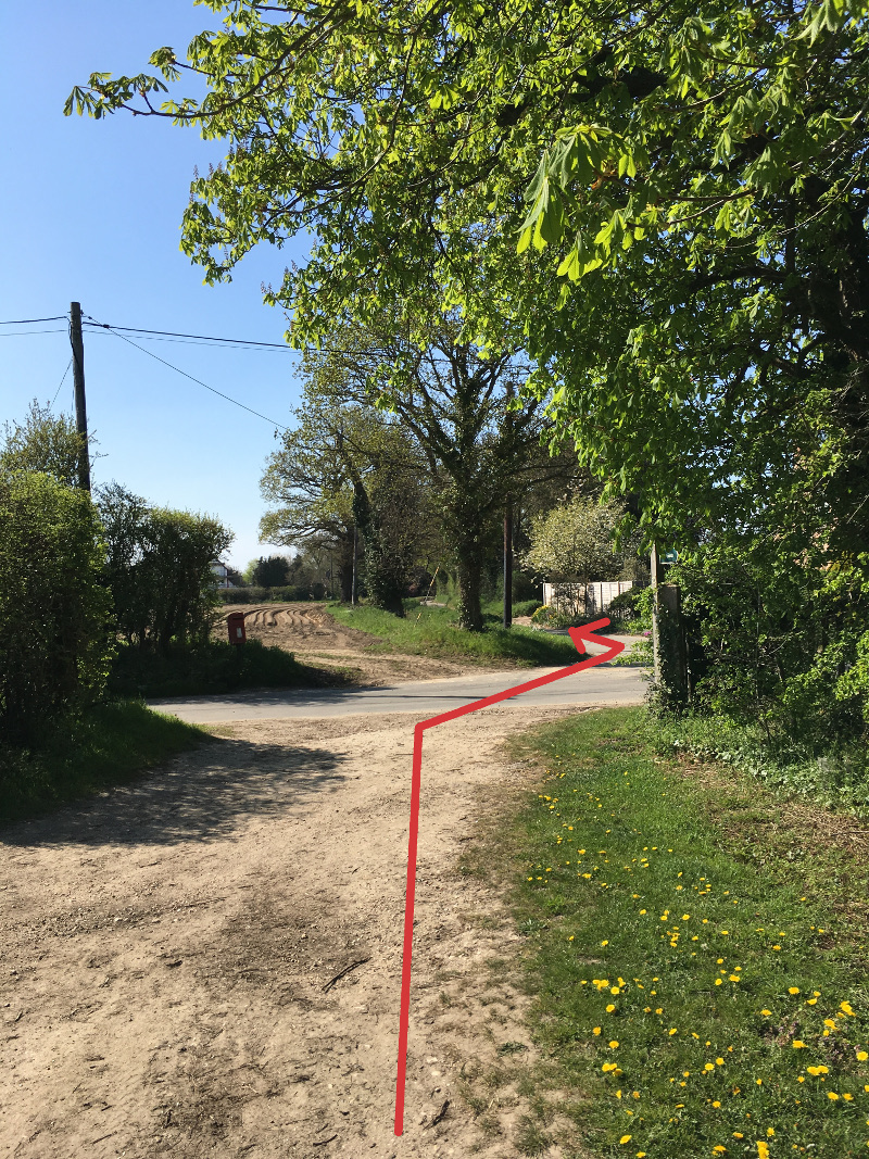
Turn right, walk down the hill and cross the railway at the level crossing (WP17). Bentley Station was once a busy junction on the Great Eastern Railway serving the Hadleigh branch line. Opened in 1847 regular passenger and freight services ran to Capel St. Mary, Raydon and Hadleigh Stations. Passenger services ceased in 1932 and the line finally closed under the Beeching axe in 1965. The station once boasted branch line platforms, freight yards, footbridge and signal box. The crossing keeper’s cottage (on the left), the Station Master’s house (on the left after the crossing), and the Railway Tavern (on the right after the crossing) still remain as private houses.
Waypoint 19
Waypoint 20
Waypoint 21
Waypoint 22
Waypoint 23
Waypoint 24
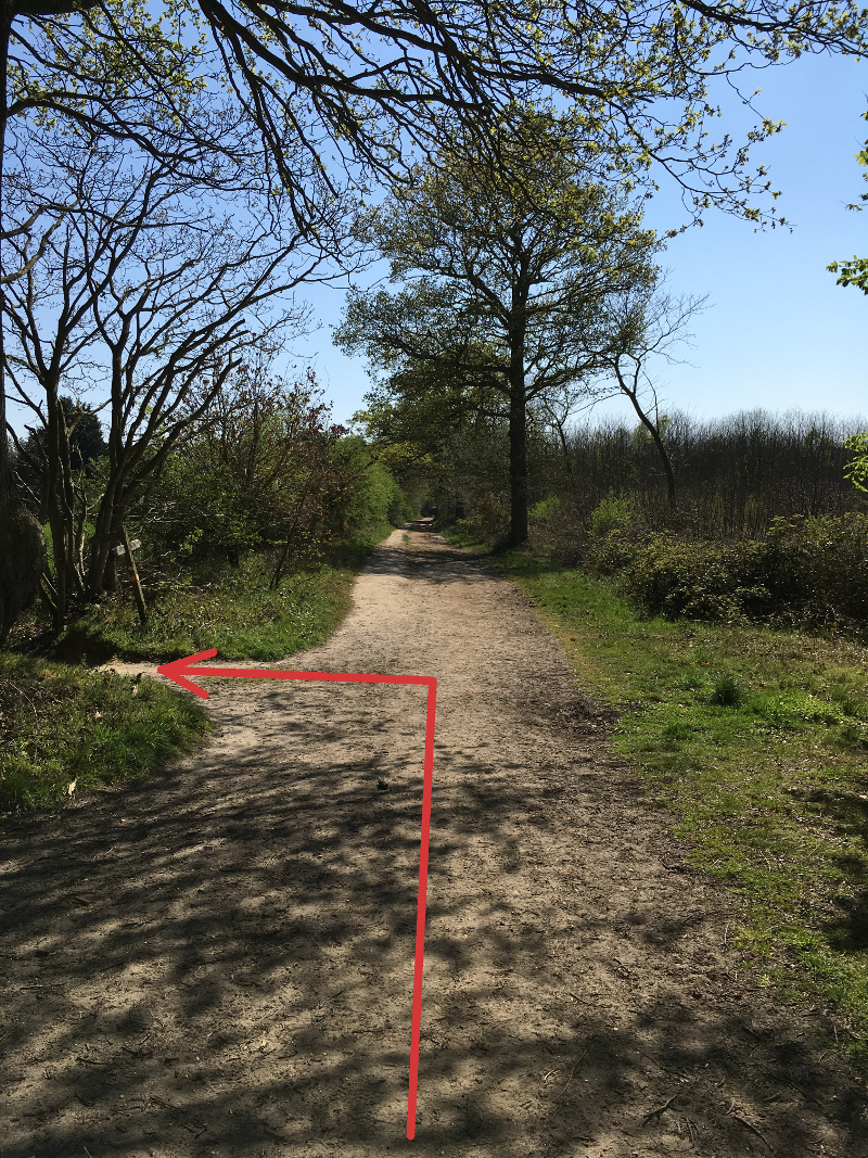
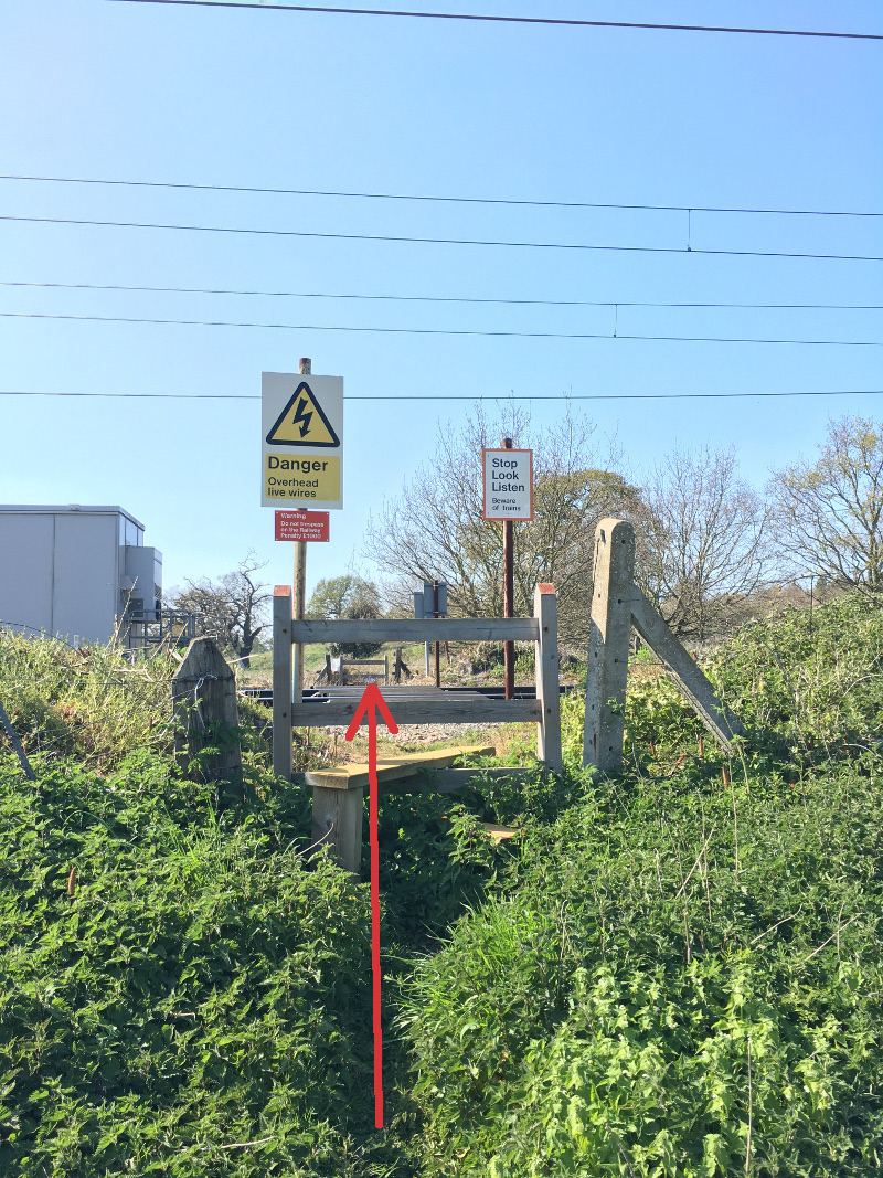
Take the field-edge path on the left after the last house, Avilon (WP18). This path will lead you (via WP19 & WP20) to a stile to cross the railway (WP21), make sure you stop, look and listen before crossing the line as the trains travel at up to 100 m.p.h. on this section. The path continues (WP22) between fences up the hill towards Falstaff Manor. At the footpath signpost by a large oak tree turn left (WP23) and follow the track out to Church Road (WP24).
Waypoint 25
Waypoint 26
Waypoint 27
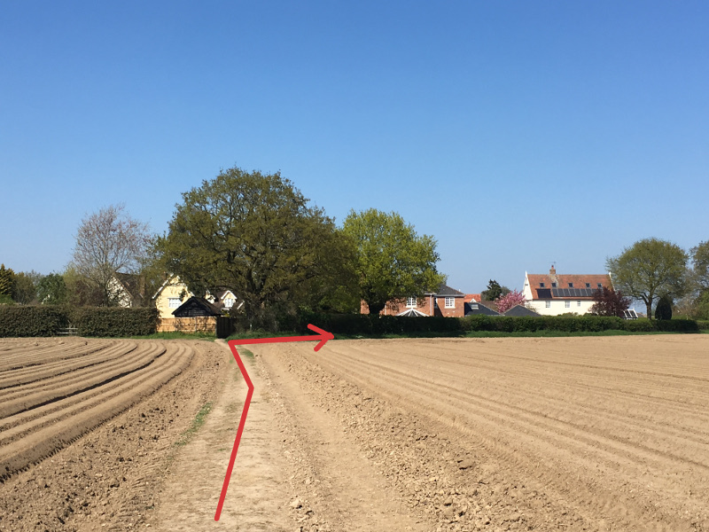
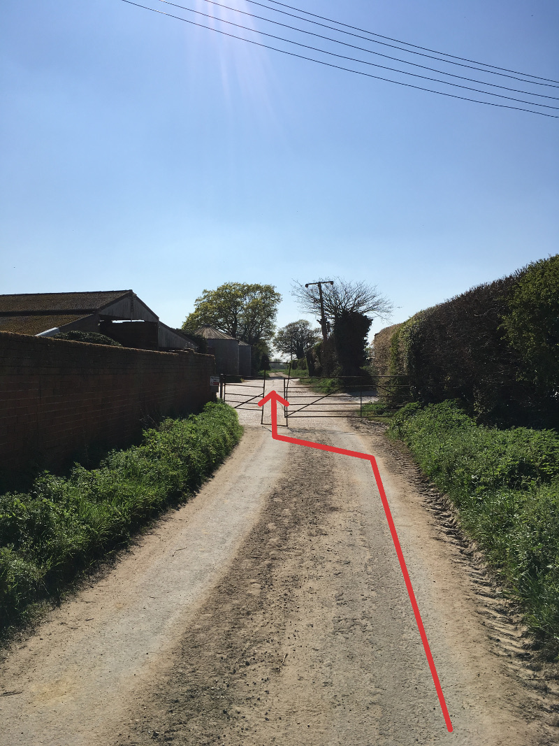
Cross the road and continue down Potash Lane, straight through Grove Farm (WP25) and out to the open fields. After the first bend follow the track and path back towards Case Lane (via WP26 & WP27) and the start of the walk at the Case is Altered.
Return to Walks From The Case
News Headlines
- Quiz Night: 27th April 2024
- Our New Charity of the Year: April 2024
- Wanted: Volunteers for the Case
- Share Offer: Ongoing
Events Calendar
Events in April 2024
| Monday | Tuesday | Wednesday | Thursday | Friday | Saturday | Sunday |
|---|---|---|---|---|---|---|
12:00 pm: Easter Monday
1st April 2024
12:00 pm to3:00 pm The pub will be open for lunchtime drinks, 12 - 3pm, on this Bank Holiday Monday.
|
2nd April 2024
|
3rd April 2024
|
4th April 2024
|
10:30 am: Coffee Morning
5th April 2024
10:30 am to12:00 pm Regular meet up for tea/coffee and chat.
|
6th April 2024
|
7th April 2024
|
8th April 2024
|
9th April 2024
|
10th April 2024
|
8:00 pm: Open Mic Night
11th April 2024
Open Mic with music from 8pm. Bar open from 6pm. All performers and listeners welcome! |
10:30 am: Coffee Morning
12th April 2024
10:30 am to12:00 pm Regular meet up for tea/coffee and chat.
|
5:00 pm: Dolly's Pizzas
13th April 2024
5:00 pm to8:00 pm Dolly will be with us again on Saturday 13th April between 5pm and 8pm. For pre-orders please ring 07856 070123. The pub will be open from 5pm so eat in or take away. Families are welcome.
|
14th April 2024
|
15th April 2024
|
16th April 2024
|
1:00 pm: 10th Anniversary
17th April 2024
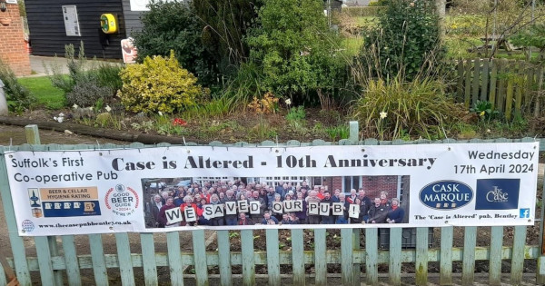 On Wednesday 17th April 2024 we will be celebrating 10 years since we first opened our doors as a community owned pub and started trading as Bentley Community Pub Limited. In fact the Case was the first co-operative pub in Suffolk. We think Bentley should be proud of the Case's important status amongst community and…
|
18th April 2024
|
10:30 am: Coffee Morning
19th April 2024
10:30 am to12:00 pm Regular meet up for tea/coffee and chat.
|
7:00 pm: Live Music: Robbie Gladwell
20th April 2024
7:00 pm to11:00 pm On Saturday 20th April, the very popular Robbie Gladwell and his band will be returning to entertain us. The band will start around 8.30pm. During the evening a BBQ will be available from around 7pm. We will be staying open a little longer than usual and last orders will be at 10:45pm.
|
21st April 2024
|
22nd April 2024
|
23rd April 2024
|
24th April 2024
|
7:30 pm: Book Group |
10:30 am: Coffee Morning
26th April 2024
10:30 am to12:00 pm Regular meet up for tea/coffee and chat.
|
8:00 pm: Quiz Night
27th April 2024
The quiz will start at 8pm. Teams can be up to 6 members. Entry is £2 per person. Bar opens 6pm.
|
28th April 2024
|
29th April 2024
|
30th April 2024
|
1st May 2024
|
2nd May 2024
|
10:30 am: Coffee Morning4:00 pm: Beer Festival
3rd May 2024
4:00 pm to11:00 pm We will be holding a beer festival over the May Day Bank Holiday weekend, on 3, 4, 5 and 6 May. We will be selling over 20 different real ales from across East Anglia and surrounding areas. While the beer festival is running, savoury foods and bar snacks will be available to buy in the…
|
12:00 pm: Beer Festival
4th May 2024
12:00 pm to11:00 pm We will be holding a beer festival over the May Day Bank Holiday weekend, on 3, 4, 5 and 6 May. We will be selling over 20 different real ales from across East Anglia and surrounding areas. While the beer festival is running, savoury foods and bar snacks will be available to buy in the…
4:00 pm: Wokn'Roll
4th May 2024
4:00 pm to8:00 pm On the Saturday evening, 4th May, a new street food vendor, Wokn’Roll will be with us. They will be selling their tasty, authentic Chinese noodle cuisine from 4pm to 8pm.
|
12:00 pm: Beer Festival
5th May 2024
12:00 pm to10:00 pm We will be holding a beer festival over the May Day Bank Holiday weekend, on 3, 4, 5 and 6 May. We will be selling over 20 different real ales from across East Anglia and surrounding areas. While the beer festival is running, savoury foods and bar snacks will be available to buy in the…
|